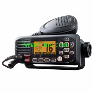
Marine Ship AIS Navigation
Waypoint Management Feature:
- 12,000 customizable waypoints, allowing for personalized naming and symbol selection
- 3 specialized system waypoints designated for MOB (Man Overboard), Start, and Cursor functions
- 10 proximity-based waypoint alerts to enhance safety and navigation precision
Route Planning Capabilities:
- 30 pre-planned navigable routes, each accommodating up to 170 points for detailed path setting
- Advanced tracking features, including MOB tracking and dual-direction path retracing for efficient navigation
- Track Navigation and Goto Track modes for streamlined route following and adjustment
Ship AIS Tracking & Logging Functions:
- Real-time track logging with a capacity of 8,000 points for comprehensive journey recording
- 10 high-resolution tracks can be saved, each containing 8,000 points for detailed playback and analysis
- Bidirectional track playback functionality for reviewing past voyages in either direction
Safety Alert Mechanism:
- Comprehensive alarm system covering various aspects:
- Navigation alerts (XTE, arrival notifications)
- Vessel monitoring (anchor drag detection, speed monitoring)
- Electrical system alerts (voltage fluctuations)
- Proximity/AIS alerts (CPA/TCPA warnings)
- Programmable timer for custom alerts
Advanced Charting Utilities:
Digital Drawing Tools:
- 1,000 place markers for marking significant locations
- 2,000 customizable lines, each segmentable into 40 points for precise drawing
- 1,000 text annotations for adding descriptive information
- 8-color palette for enhanced visual distinction
Display Modes:
- Daylight mode for sunlight-readable visibility
- Night vision mode for low-light conditions
- NOAA paper chart color scheme for familiarity and ease of use
- C-Map perspective view (when supported) for a more immersive navigation experience
Tidal & Celestial Information:
- Global tide database with accurate predictions for planning purposes
- Astronomical event tracking, including:
- Sunrise/sunset times for timing voyages
- Moonrise/moonset times for nocturnal navigation
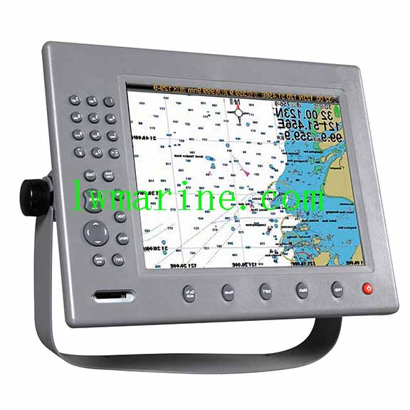
Technical Specifications Overview:
Position Format: Latitude/Longitude for precise location tracking
Chart Compatibility:
- K-Chart 2.0/3.0
- C-Map Max
- Navionics+ for versatile charting options
Data Storage Solutions:
- Internal memory backup for data security
- Expandable storage via SD card for additional capacity
Plotting Parameters:
- Interval range: 5 seconds to 60 minutes / 0.01 to 10 nautical miles for flexible plotting
- Scale range: 0.001 to 700 nautical miles for detailed or broad-scale mapping
AIS Integration Features:
- 700 target display capacity for comprehensive vessel tracking
- 10 manual tracks, each with 300 points for custom path recording
- ONWA-to-ONWA messaging capability for seamless communication between vessels
Attention please: The description was copied from different cooperating manufacturers. The description may be different with the goods, please check with us when order.
Tag: Our other products
Click here to contact us via whatsapp